ACN
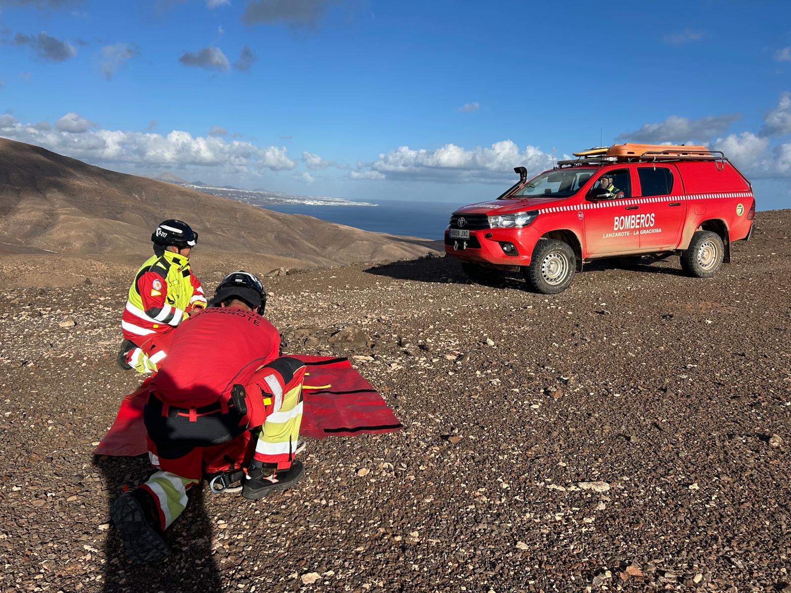
The General Directorate of Security and Emergencies of the Government of the Canary Islands maintains the alert situation for the entire Archipelago due to adverse weather phenomena.
According to the National Institute of Meteorology, strong southwest winds are expected today in the province of Las Palmas, with very strong intervals and gusts that could exceed 90 kilometers per hour in areas of Gran Canaria above approximately 700 meters. The maximum wind intensities are expected to be reached from noon this Tuesday.
This situation will continue during tomorrow, Wednesday, February 8, when there is a probability that gusts of 75 kilometers per hour will occasionally be reached in coastal areas of the south and west of Gran Canaria, as well as on the coasts of Lanzarote and Fuerteventura.
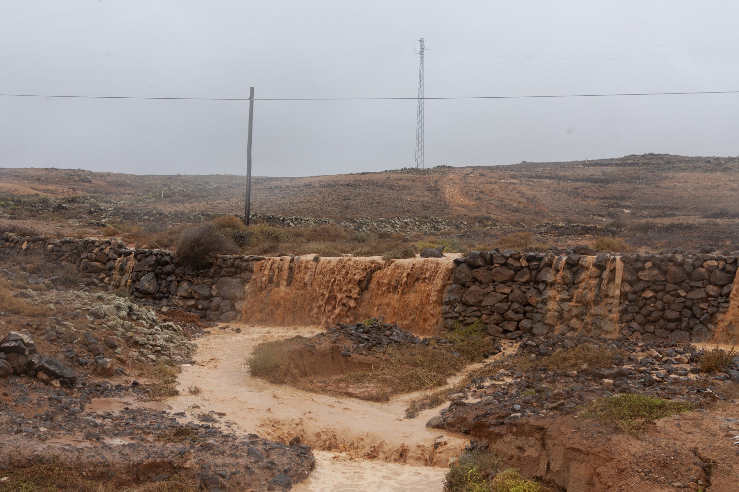
Regarding rain, widespread rain is expected during today, occasionally accompanied by storms and which may be locally strong, mainly from noon. There is a probability that, in the aforementioned period, 30 liters per square meter will be reached in 12 hours in Lanzarote, Fuerteventura, La Graciosa and coastal areas of Gran Canaria or 60 liters per square meter in the rest of the areas.
There is also the possibility that 30 liters per square meter can be reached in one hour at any point in Gran Canaria, mainly during the second half of tomorrow, Wednesday, February 8. This situation will continue throughout Wednesday.
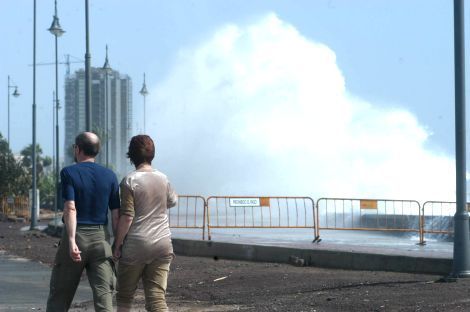
Regarding the state of the sea, wind from the south component 5 to 6 and occasionally force 7 is expected for tomorrow, which may generate areas of rough seas, the most affected areas being the north and west coasts of Lanzarote, northwest of Gran Canaria and west of Fuerteventura.
Santa Cruz de Tenerife
In the province of Santa Cruz de Tenerife, strong to very strong southwest winds are expected for today, with gusts that may locally exceed 110 kilometers per hour, in areas of Tenerife, La Palma, La Gomera and El Hierro, above about 700 meters and up to about 2,300 meters approximately. Above approximately 2,300 meters, very strong southwest winds are expected and gusts of up to 150 kilometers per hour could be reached.
The maximum wind intensities are expected to be reached from noon today. This situation will continue during tomorrow, Wednesday 8, when there is a probability that gusts exceeding 75 kilometers per hour will occasionally be reached in coastal areas of the islands.
Likewise, widespread rain is expected during today, occasionally accompanied by storms and which may be locally strong or very strong, mainly during the morning and early afternoon. There is a probability that, in the aforementioned period, 60 liters per square meter will be reached, mainly on the islands of Tenerife and La Palma.
There is also the possibility that 30 liters per square meter can be reached in one hour, mainly during the middle of tomorrow, Wednesday 8. This situation will continue during the morning of Wednesday, February 8.
Regarding the state of the sea, wind from the southwest to west force 5 to 6 and occasionally force 7 is expected for tomorrow, which may generate widespread rough seas, mainly in the first half of the day.
Recommendations
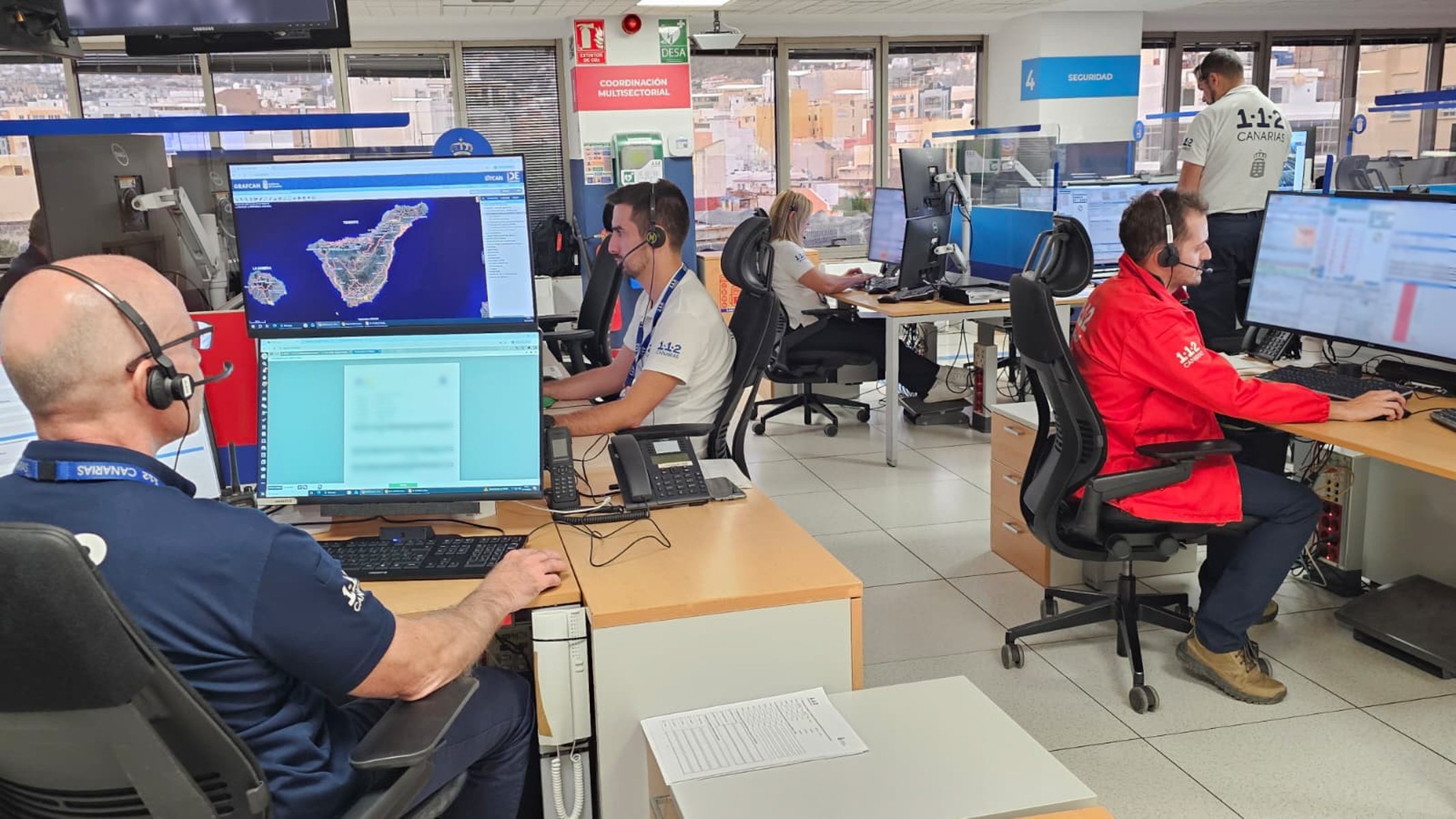
Given this situation, the General Directorate of Security and Emergencies of the Government of the Canary Islands recommends always having a flashlight and a battery-powered radio on hand; always have batteries located and in good condition; stay informed through the radio; stay calm; locate and contact the family; if you are in an area that is not well known, pay attention to the security measures, especially emergency exits and fire extinguishing equipment; and call 1-1-2 in case of emergency (calls from mobiles have preference over landlines).
