The General Directorate of Security and Emergencies of the Government of the Canary Islands has also declared the pre-alert for storms. This joins the alert for winds, pre-alert for rain and coastal phenomena. All adverse weather phenomena will begin in the early hours of Sunday, February 25.
The wind alert indicates that strong and gusty southwest wind is expected. With an average speed of 30 to 50 kilometers per hour, with maximum gusts of 70 to 90 kilometers, not ruling out local gusts exceeding 60 to 70 kilometers per hour.
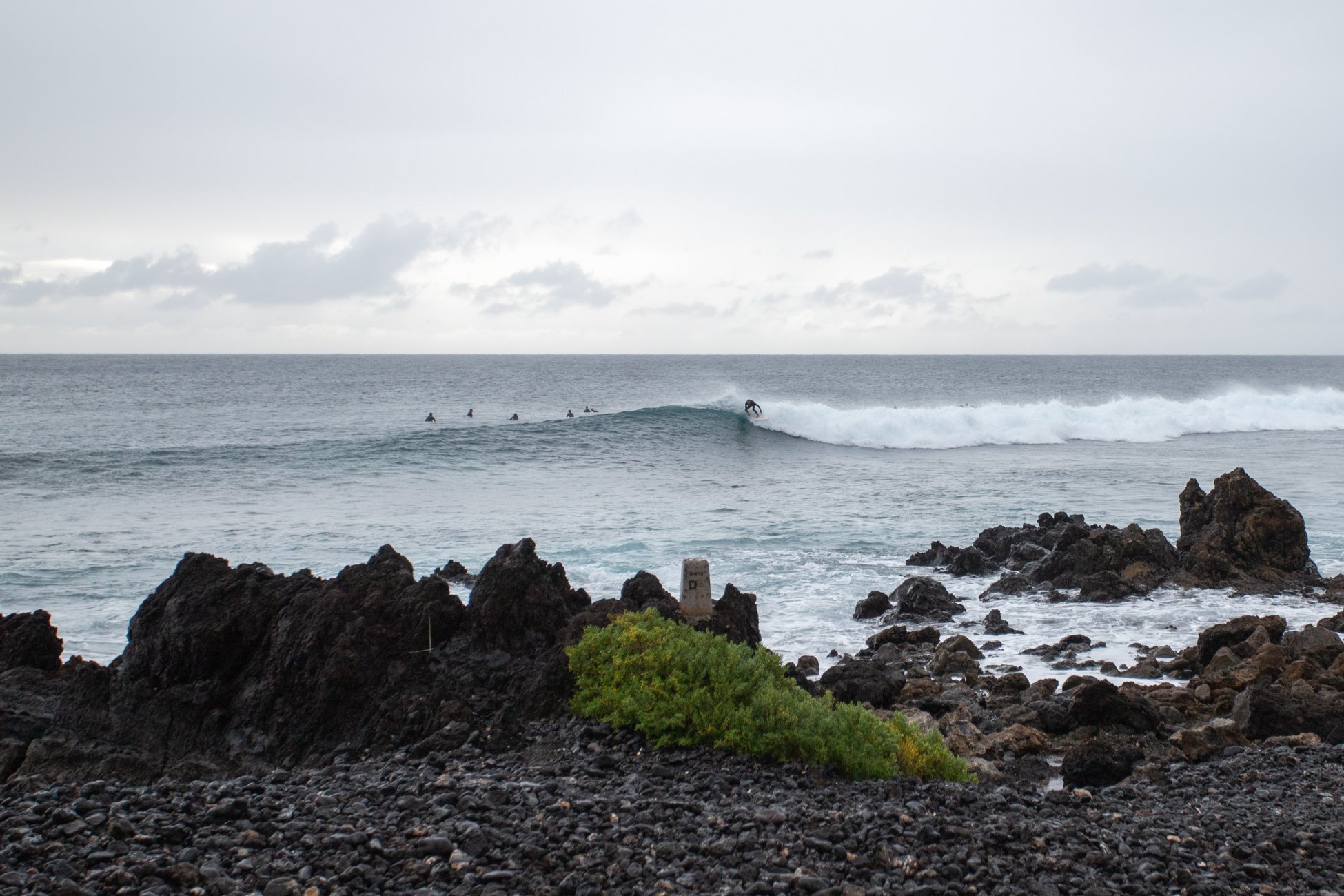
The pre-alert for coastal phenomena expects south-southwest turning to west, force 6 to 7. Generalized strong swell-rough seas are expected. West and southwest swell of more than two meters. Combined sea swell of 3 to 4.5 meters.
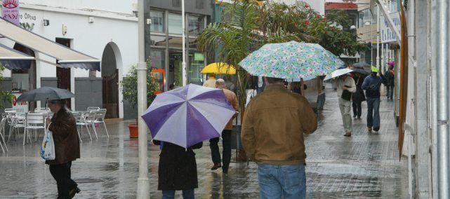
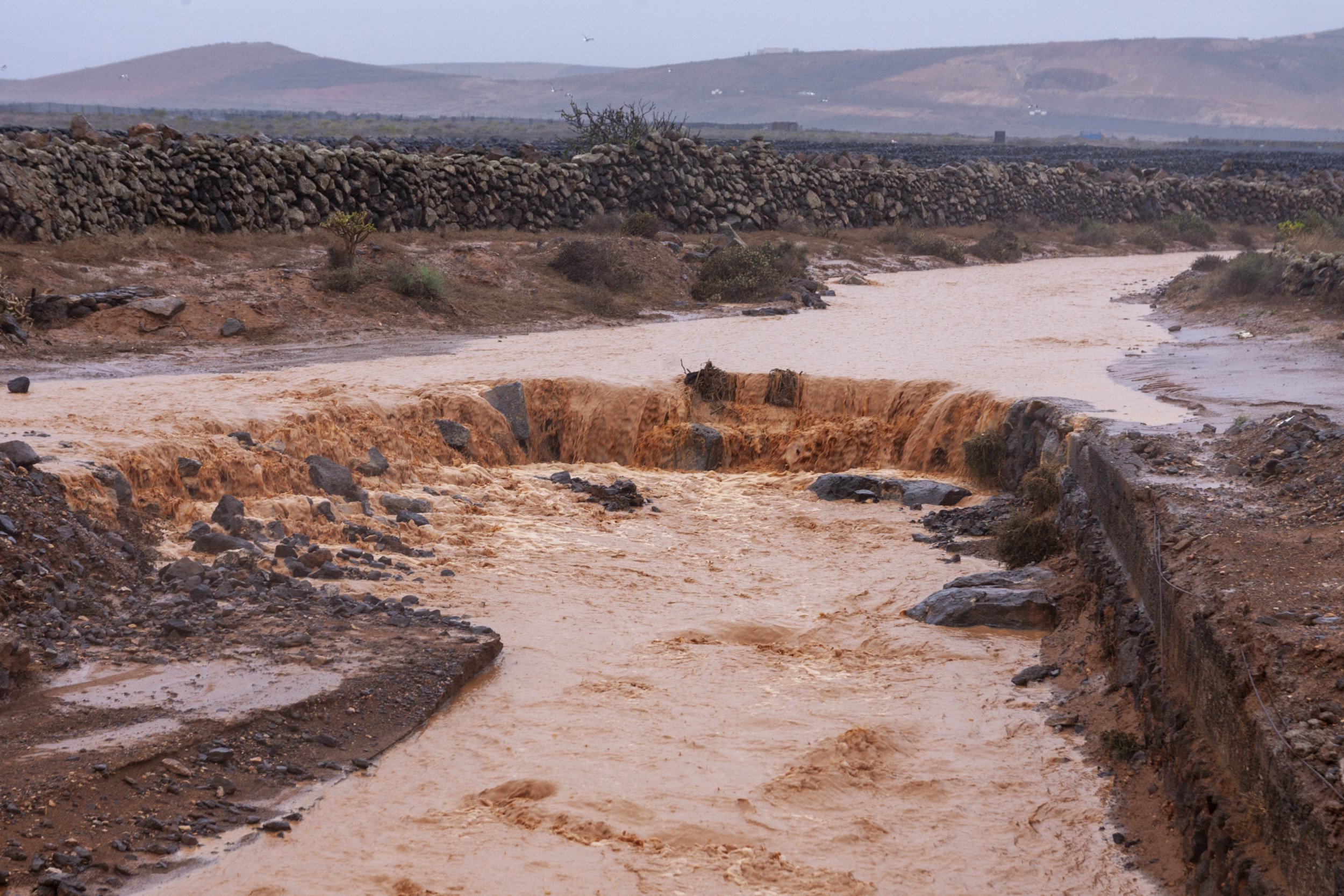
The pre-alert for rain is expected to be accompanied by weak, moderate, widespread rain and showers, which could be accompanied by thunderstorms. It is advanced that accumulated rainfall of 15 liters per square meter in one hour is likely.
Finally, the General Directorate of Security and Emergencies of the Government of the Canary Islands advances that conditions are favorable for weak or moderate storms.
The Security Consortium informs how to prevent this situation of adverse weather phenomenon in case of winds:
Close doors and windows to avoid drafts that can lead to breakage and falling glass
Remove pots and all objects that may fall to the street from balconies and roofs
• Check homes for cornices, balconies and facades in poor condition that may cause falls of rubble and debris
• Avoid going on excursions or camping until normality is restored
• Try to postpone road trips and, if you do, take extreme precautions. The use of public transport is recommended
• Motorcycles and large vehicles that offer a large contact surface with the wind (trucks, vans, vehicles with trailers or caravans) run the risk of overturning in the face of transverse winds
Avoid walking through gardens or wooded areas
Stay away from walls, old houses, scaffolding, illuminated signs, billboards and other structures that may be knocked down by the wind
Light poles and power towers are dangerous. Move away and in case of risk call 1-1-2
In case of risk due to construction cranes, immediately call 1-1-2
Try to stay away from the coast (beaches, promenades, pier breakwaters, etc.) to avoid being hit or dragged by the action of the waves
Drive slowly and carefully in the face of the possible presence of obstacles on the road or gusts of wind that cause you to lose control of your vehicle, especially when overtaking
Avoid calling by phone, in order to avoid collapsing the lines
The Lanzarote Security and Emergency Consortium informs how to prevent this situation in the face of coastal phenomena:
Protect your home from possible invasion by seawater
Do not stand at the end of docks or breakwaters, or risk taking photos or videos near where the waves break
Avoid fishing in risk areas
Do not drive vehicles on roads near the beach line
Never bathe on secluded beaches or that you do not know well enough, because there may be local eddies
Avoid bathing on beaches with a red flag, in areas where there is strong waves and undertow or that lack surveillance and rescue services
Avoid practicing sports and nautical activities in the areas affected by the swell and do not camp on the beach when there is an alert for sea storm
If you notice some abnormal waves, do not stay near the sea, or approach even if it calms down suddenly
If you have a boat, try to secure its mooring in a sheltered place
If you see other people in dangerous places, warn them of the danger
If you fall into the water, move away from where the waves break, ask for help and wait to be rescued
If you try to get out and are dragged by the waves, try to calm down; do not swim against the current and let yourself be carried away. Generally, coastal currents lose intensity in other sections and it is then that you should swim
If you are on land and see that someone has fallen into the water, throw them a rope with a float, or any other object they can cling to. Immediately call 1-1-2 ó 080.
It also recommends in case of rain alert:
Check the condition of roofs, drains, etc. If you live near a ravine, inform your City Council if it is saturated with waste, debris, etc.
Before the imminent arrival of heavy rains, pay attention to the instructions given through the media.
Never (even in summer), camp in floodable places: ravines, etc.
If possible, stay in your home, keeping in mind that it is not located in ravines or in places of risk.
Avoid driving during heavy rains, if it is essential, take extreme precautions, paying special attention to the height of the water, moderating the speed and watching the brakes. If the vehicle begins to fill with water, it is better to abandon it.
Circulate preferably on main roads or highways, avoiding forest tracks or secondary roads and using the shortest gears.
In case of having to cross flooded areas where the water has current, tie a rope to your waist, fastened at the other end to some fixed or heavy object.
Do not cross bridges that the water overflows above.
If the problem surprises you at home, prevent toxic and/or flammable substances from coming into contact with water.
Do not enter the floodable areas of the house, such as garages, basements, etc.
Never use the elevator, the electric fluid may fail at any time.
Disconnect the electrical current.
If the case arises, do not hesitate to leave the house, heading to a higher place, or to where the authorities are referring the neighbors.
If the water isolates you in the upper part of your house, do not abandon it by swimming, the current can drag you, it is preferable to wait for help.
Do not overestimate your possibilities, be prudent, and if necessary, wait for specialized help.
Once the emergency is over, do not return to your home until the technicians indicate that it is safe to do so.
Once you can access the homes, do not light matches or devices that give off any spark, including the light switch.
Drink only bottled water
In case of storms:
If the storm is accompanied by lightning or lightning, close doors and windows, air currents can attract lightning.
Unplug electrical appliances, voltage surges can damage them or electrical discharges can occur. Disconnect the television antenna.
Stay away from towers, fences or any other metal structure.
Do not take refuge under trees. Remember that wet wood is also a conductor of electricity.
Avoid traveling by road, if you have to do so, take extreme precautions.
In the city, buildings can protect you from the risk of discharges.
In the countryside, look for low areas avoiding deep valleys, the slopes of the mountains are safer.
If the storm surprises you in the car, close doors and windows, turn off the radio. Disconnect the engine (as long as it is not in a water channel) until the storm ends.
If you are working outdoors, abandon the machinery and metal objects that you may have at hand (tool handles, sticks, bicycles, motorcycles, ...).
Do not approach to assess the damage caused by lightning.
Never run under an electrical storm.
Do not sit or stand on anything wet, rubber soles do not fully guarantee safety.
Avoid calling by phone, in order to avoid collapsing the lines


