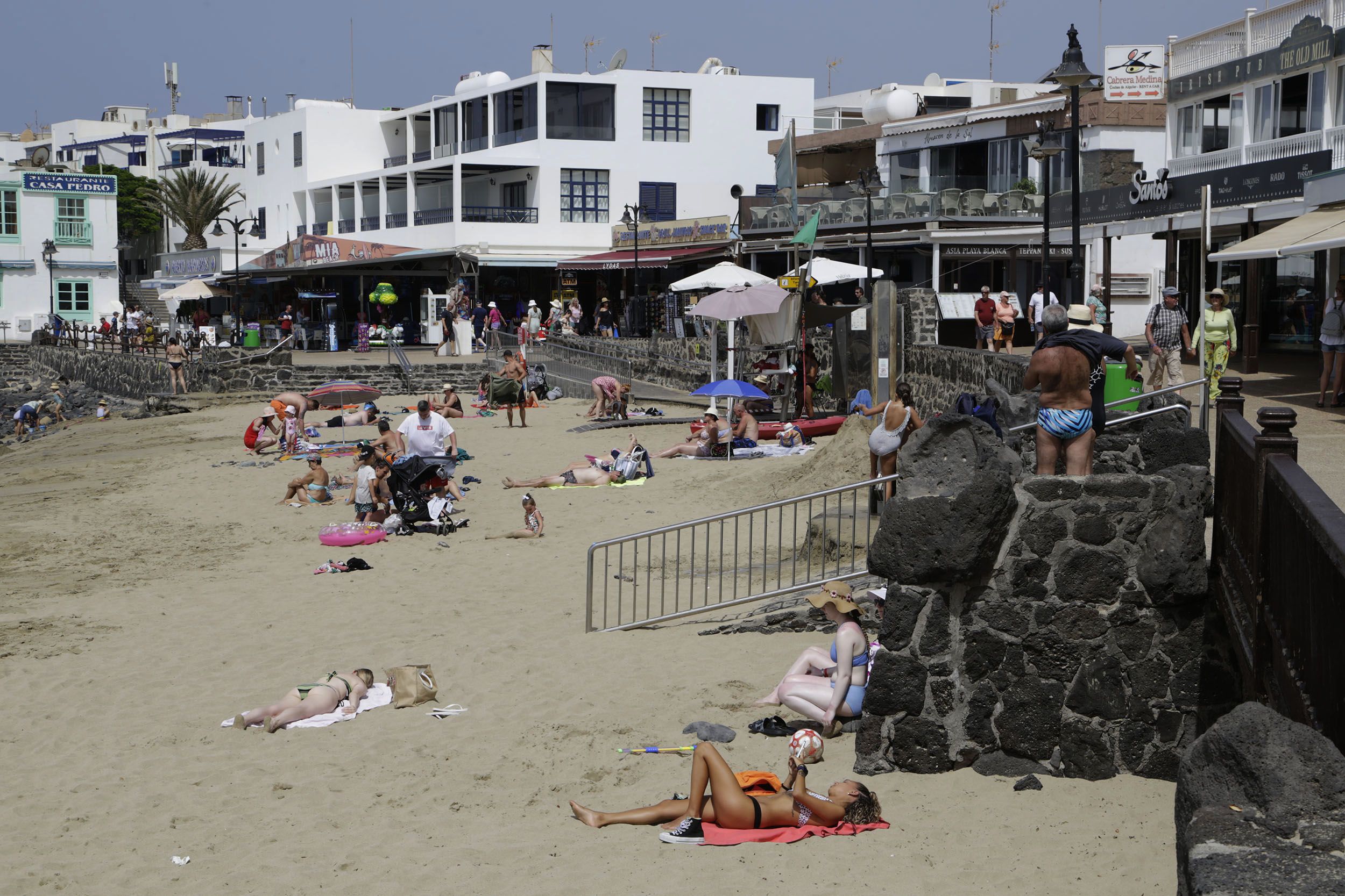
The State Meteorological Agency (Aemet) has confirmed this Friday that the Canary Islands are suffering a heat wave in the middle of October, the tenth to be recorded in the historical series in that month of the year. And that has happened between October 1 and 5 in three of the meteorological stations on the islands analyzed for the preparation of the historical series: at the airports of Lanzarote, La Palma and Gran Canaria, reports the EFE Agency.
The reference value at Lanzarote airport was 33.1 degrees, which has been exceeded since the beginning of October: 34.4, 34.5, 35.8, 33.2 and 34.6 degrees Celsius. At La Palma airport, the reference value was 27.5 degrees, which were exceeded from October 3 to 5: 27.8, 30.1 and 30.6 degrees; and in Gran Canaria, the 31 degrees of reference were exceeded on the same days: 32.5, 31.2 and 32 degrees.
The reference temperature at El Hierro airport (27.8 degrees) was also exceeded on October 4 and 5: 33.3 and 32.5 degrees.
In the case of the Canary Islands, when determining whether or not there is a heat wave, there is a variation with respect to the general criteria, since when using only six stations it would be enough for one of the observatories to record a warm episode for it to be considered a heat wave in the archipelago.
Therefore, in the Canary Islands it is required that at least two stations record a warm episode for it to constitute a heat wave, according to the criteria established by Aemet. David Suárez, delegate of Aemet in the Canary Islands, told EFE that this is the "third heat wave suffered by the archipelago this year, after the two recorded in August, apart from other warm episodes" that "barely reached wave status", one in June and another in July.
What is "exceptional" about this new wave, indicates Suárez, is that it occurs in October, affects all the islands and it remains to be seen how long it lasts. The forecast for the next few days does not point to "major changes" and it is foreseeable that the stations studied for the historical series will continue to exceed the reference temperatures.
Suárez advances that predictably "until mid, and even the end of next week, high temperatures will be maintained" in the Canary Islands, perhaps with "small" decreases in temperatures, more marked for October 11 and 13. Hence the uncertainty about when the end of this heat wave will occur.
"Until mid, and even the end of next week, high temperatures will be maintained in the Canary Islands"
This episode of heat in autumn is due to three factors, the first of which is the influence of a "ridge" (area with high pressures, with effects similar to an anticyclone) from Africa that is even having effects on the Iberian Peninsula. This causes very stable weather, with very few clouds.
The second factor is the irruption of a mass of hot African air over the islands, which is also expressed in the form of haze (Saharan dust suspended in the air). And the third is a phenomenon called subsidence, a descending movement of air from medium and high layers of the atmosphere towards lower layers, which compresses the air and heats it.


