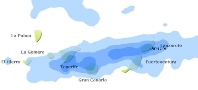
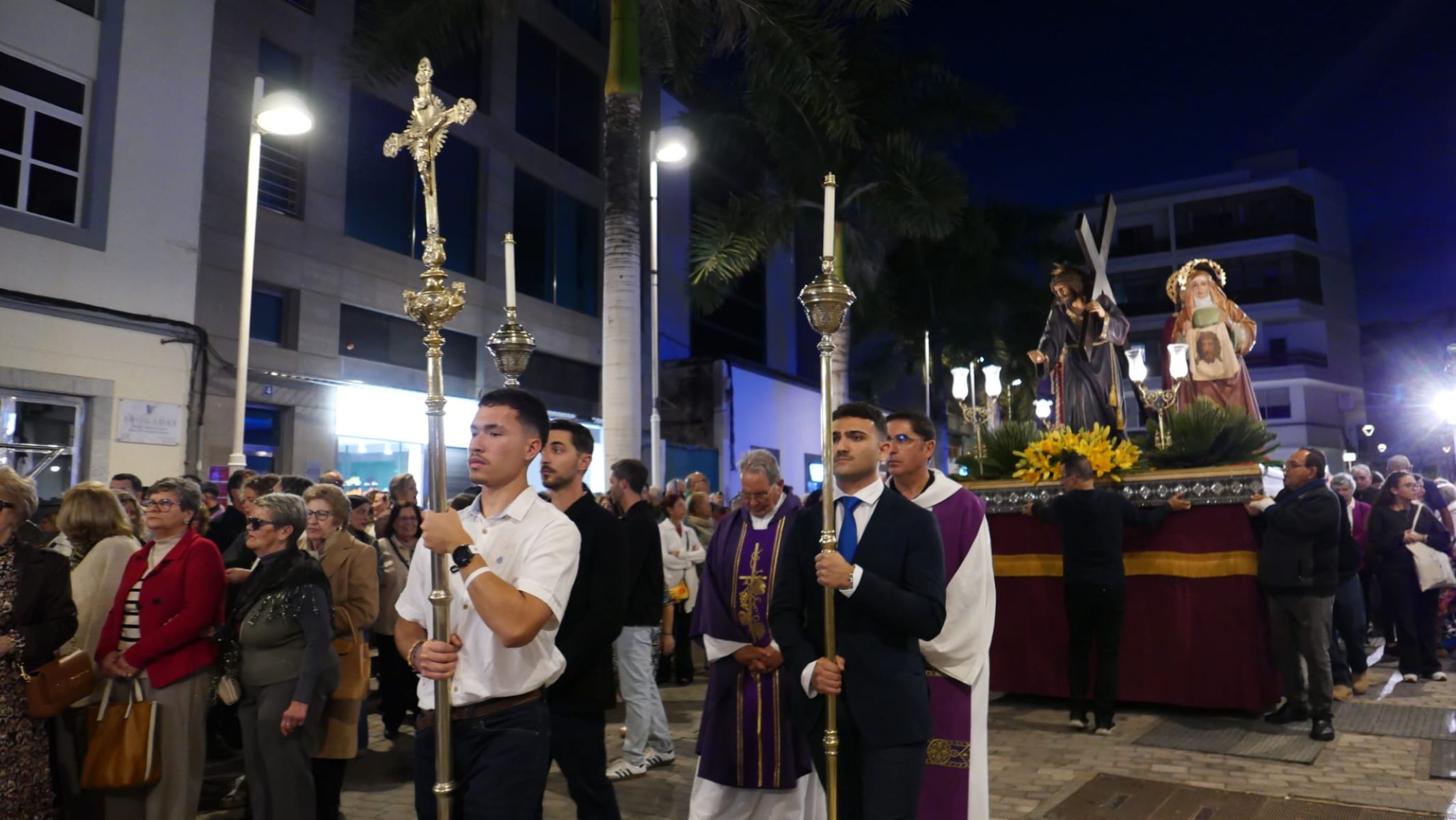
The delegation in the Canary Islands of the State Meteorological Agency (Aemet) forecasts for this Friday "somewhat significant" rains in Lanzarote, especially in the early hours of the morning. These precipitations are not "directly related" to the Humberto storm, which already has a category 1 hurricane status and has been close to Cape Verde in recent days. According to Aemet, the entire weekend will be unstable on the island, which celebrates the Los Dolores pilgrimage this Saturday.
Mainly, the rains will be noticeable this Friday and will not be "very intense", but they will be "significant". For the moment, Aemet has not activated any warnings, "not even the yellow one", but it is "likely" that it will have to activate it this afternoon for Friday. "It's nothing to worry about," reassures the Aemet delegate in the Canary Islands, Óscar García.
Although these precipitations have nothing to do with the Humberto storm, García acknowledges that "at high levels of the atmosphere everything is related". "We have a band of humid air from high levels, which comes from the south and has some connection with Humberto. We do not expect it to approach the island," assures the Aemet delegate in the Canary Islands.
In addition, the expected trajectory is that it will move away to the west. "The closest it will be to the island is now. Soon, it will go west. We estimate that the winds will be weak and that can give us an idea that we do not expect anything related to Humberto in terms of surface", he explains. For the moment, Humberto has been categorized as a type 1 hurricane, reaching winds of 75 knots, which corresponds to about 120 kilometers per hour. "It is expected that from the day after tomorrow it will weaken," García insists.
Pilgrimage Saturday, with "rough" weather
On Saturday, the weather will improve significantly, as the meteorology is expected to remain "rough" and "unstable" throughout the weekend. "Saturday will be better than Friday, although some weak rain could occur. The day will not be sunny, but quite cloudy. The wind will be a weak or moderate trade wind," explains García.
On Sunday the climate will worsen again and the island may have to endure rainfall again. "The most affected areas will be the eastern islands and the high areas of Tenerife. However, we expect most of the rainfall to accumulate on the morning of this Friday," they point out from Aemet.
