The General Directorate of Emergencies of the Government of the Canary Islands warns of the possibility of an unstable meteorological situation in the surroundings of the archipelago that includes wind, high temperatures, haze and possible unusual storms from Africa.
The Canarian executive has communicated this meteorological context to the island and municipal institutions, as well as to the security and emergency services, from this Sunday until possibly Wednesday, August 21.
The State Meteorological Agency (Aemet) has issued warnings for gusts of wind on some islands, for extreme maximum temperature, and for haze. The wind in high areas and peaks will change to a south and/or east component.
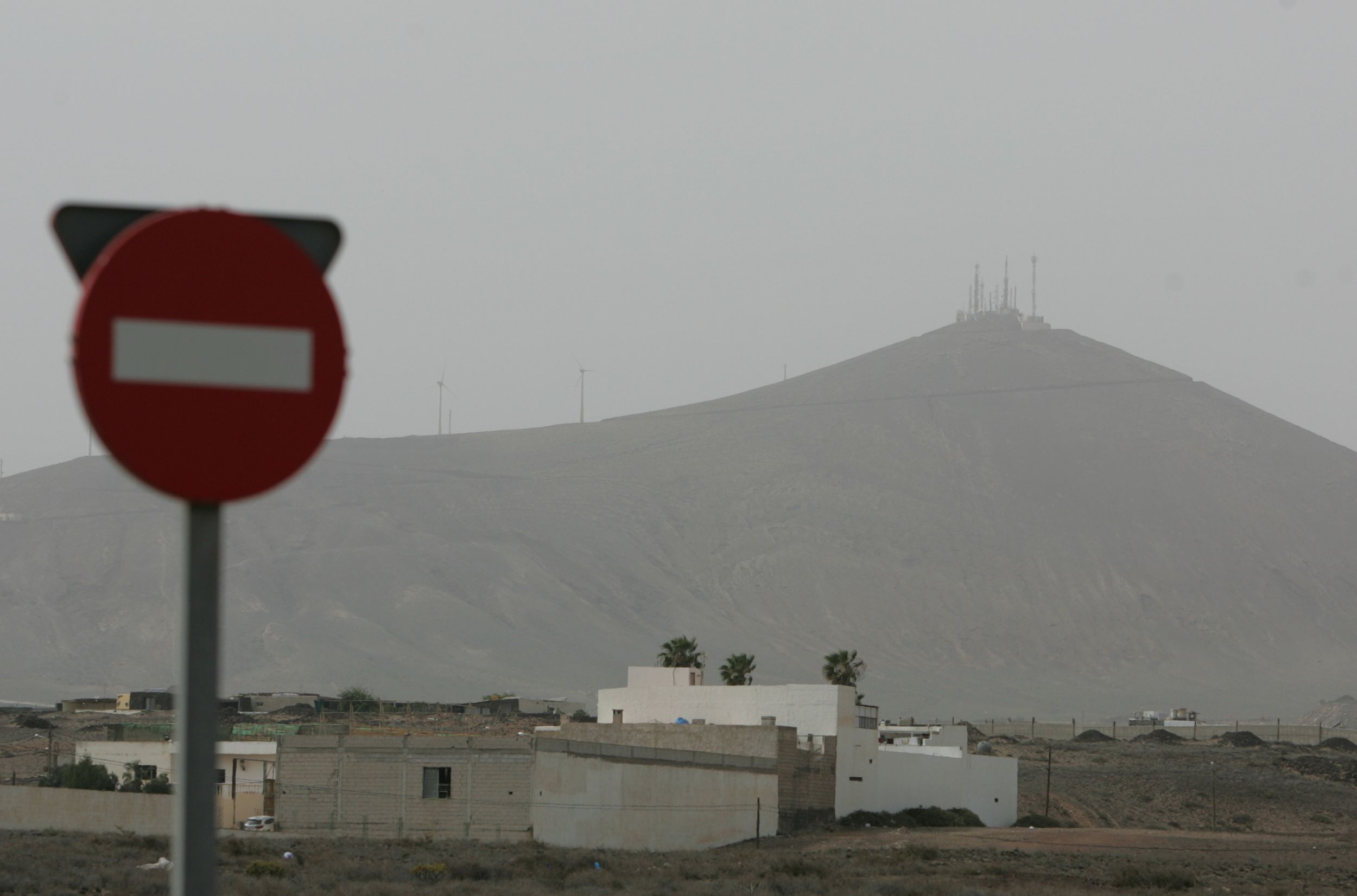
It will be responsible for the entry of haze, which from the afternoon of this Sunday will extend in height from east to west of the archipelago, and that on Monday could reduce visibility in the midlands and high areas of the eastern islands.
There are favorable conditions for the formation of vertical development and/or storm-like clouds on the peaks of Tenerife at noon and in the afternoon, and for the arrival of medium and storm-like cloudiness to the surroundings of the eastern and central islands (La Palma, El Hierro and La Gomera would be excluded), coming from the African continent, during the early morning and early hours of Monday, August 19 and Tuesday, August 20.
That is, the Emergency Department warns, the arrival of electrical storms (lightning, lightning and thunder) from Africa is possible, and it is not ruled out, associated with them, very scattered and occasional mud showers, very strong gusts of wind and even sudden blowouts.
A reventón is a strong vertical current of descending air associated with storm clouds that translates, very locally, into a sudden increase in temperatures and very strong gusts of wind, effects that can last between 5 and 30 minutes.
They are rare meteorological phenomena in the islands and if one occurs it would rather be a micro-reventón, whose horizontal extension does not reach 4 kilometers and lasts less than 15 minutes.
Possible unusual storms from Africa in the Canary Islands
The General Directorate of Emergencies of the Government of the Canary Islands explains that this situation will begin on the afternoon of this Sunday until Wednesday, August 21

