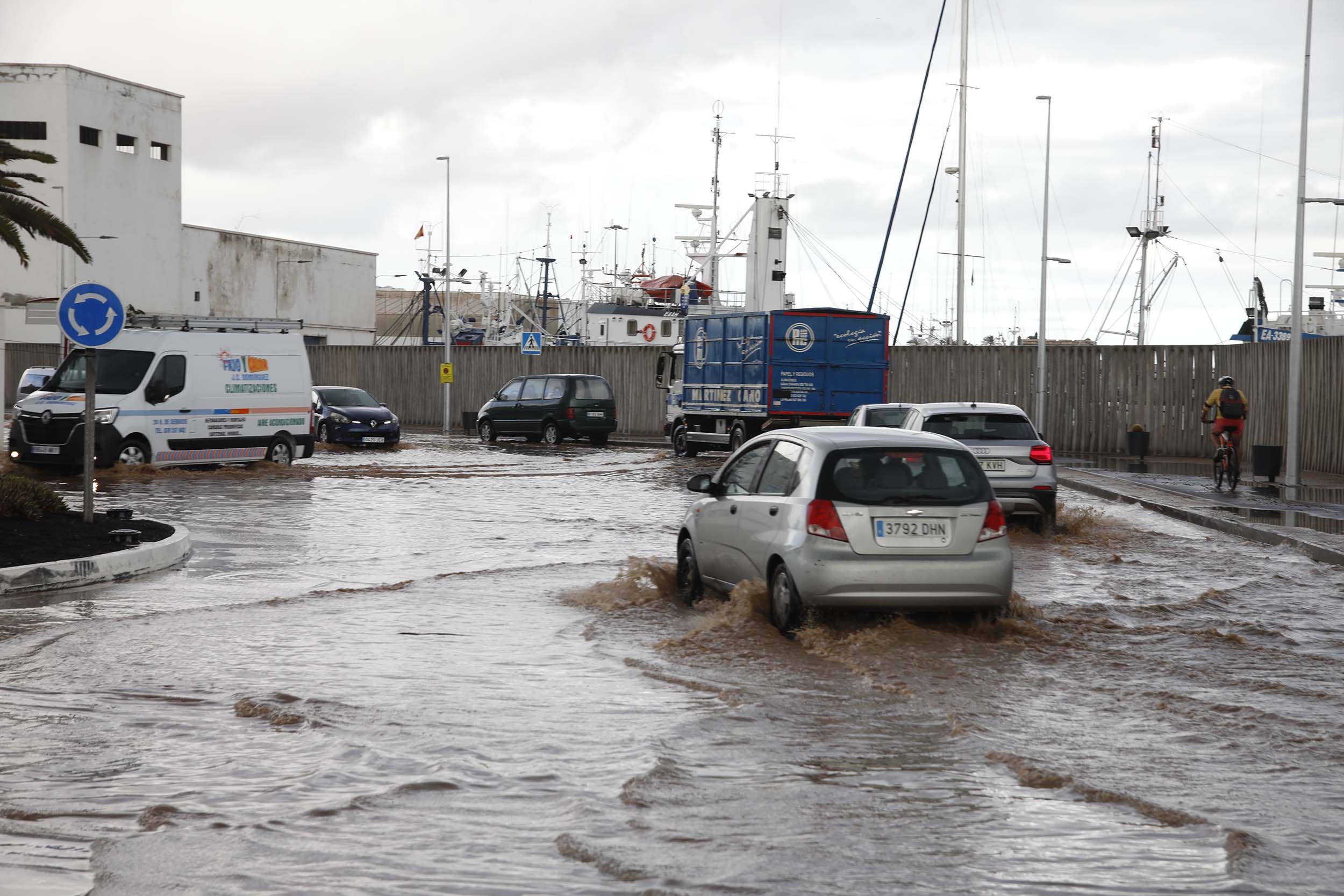
The passage of the storm ‘Olivier’ through the Canary Islands will leave locally heavy, very heavy and persistent rainfall accompanied by storms on all the islands starting this Wednesday, April 9. There are also expected to be very strong gusts of wind that could exceed 70 kilometers per hour on the four western islands. Therefore, the Government of the Canary Islands will activate the alert situation for rain and the pre-alert for risk of rain floods on all the islands starting at 00:00 hours this Wednesday, April 9, as well as the pre-alert situation for storms starting at 06:00 hours on the same day, and the pre-alert situation for wind on the western islands starting at 12:00 hours this Wednesday.
The Government of the Canary Islands held a technical coordination meeting this Tuesday morning to monitor this adverse weather phenomenon that will cross the islands in the coming hours. The meeting was attended by the Deputy Minister of Emergencies, Marcos José Lorenzo, the General Director of Emergencies, Fernando Figuereo, as well as representatives of the State Meteorological Agency (AEMET) and the island councils.
During the first phase of this Adverse Meteorological Phenomenon, which will begin during the night of this Tuesday in Fuerteventura and Lanzarote, heavy rainfall is expected that could turn into hail. During the second half of the morning, Wednesday, the entire archipelago will be affected by the effects of the storm ‘Olivier’ which will leave heavy rains that could be in the form of snow from 2,400 meters during the afternoon.
Heavy rains could generate rain floods on the islands during tomorrow, Wednesday, and Thursday, given that episodes of heavy rain are expected in one hour. Therefore, the General Directorate of Emergencies of the Government of the Canary Islands declares the alert situation for rain throughout the archipelago starting at 00:00 hours tomorrow, Wednesday, given that locally heavy, very heavy and persistent rainfall is expected that could reach 30 mm in one hour and 80 mm in 12:00 hours.
The Government also declares the pre-alert situation for risk of rain floods on all the islands starting at 00:00 hours this Wednesday, because all flood-prone areas of the Canary Islands will be affected, to a greater or lesser extent, with special incidence in those located in the municipalities oriented to the southwest, although floods may occur outside these places in urban areas.
Thus, there is a risk of flooding in ravines in the municipalities of Teguise, Haría, Tías and Arrecife, in Lanzarote, as well as in ravines in the towns of Tuineje, La Oliva and Puerto del Rosario, in Fuerteventura. There is also a risk of flooding in ravines of Las Palmas de Gran Canaria and Telde, Agüimes, San Bartolomé de Tirajana and Mogán. In Tenerife, this situation could affect ravines located in Santa Cruz de Tenerife, La Laguna, La Orotava, Puerto de la Cruz, Los Realejos, Guía de Isora and Adeje, while in La Gomera this risk of rain floods affects ravines of Alajeró, Valle Gran Rey and San Sebastián. In La Palma, there will be risk in ravines of the capital of the island, as well as Tazacorte and Los Llanos de Aridane, while in El Hierro this situation can cause floods in the Las Playas ravine, in Valverde.
In addition, the General Directorate of Emergencies will activate the pre-alert for storms on all the islands starting at 06:00 hours this Wednesday, April 9, because rains with electrical activity accompanied by strong wind are expected. The pre-alert situation for winds will also be activated in the western islands starting at 12:00 hours tomorrow, Wednesday, given that gusts exceeding 70 kilometers per hour are expected, as well as moderate southwest wind with strong intervals.
Recommendations
Given the arrival of heavy rains, the General Directorate of Emergencies of the Government of the Canary Islands advises avoiding driving and, if it is essential, taking extreme precautions, paying special attention to the height of the water, moderating the speed and watching the brakes. It is also recommended to drive preferably on main roads or highways, avoiding forest tracks or secondary roads and using the shortest gears.
It is important not to cross bridges where the water overflows and not to enter the flood-prone areas of the house, such as garages or basements, among others. You should also not use the elevator and call 112 exclusively in case of emergency. If you need any type of information, you should use 012 and not 112.
Regarding storms, it is important not to approach to assess the damage caused by a lightning strike, nor to run under an electrical storm, among other tips.
Given the forecast that points to the arrival of strong winds, the Government of the Canary Islands asks the population for the need to take all the necessary prevention and self-protection measures. In this sense, it recalls that in urban areas it is convenient to stay away from old houses, cornices and walls, and avoid passing in front of buildings under construction or in poor condition. In addition, you have to be aware of street furniture, scaffolding, cranes, illuminated signs, billboards or any other element that may fall or be dragged by the wind. It is also recommended to remove pots and all objects that may fall on the street and cause an accident from windows, balconies and roofs, and check homes so that there are no cornices, balconies or facades in poor condition that may cause falls of rubble and debris.


