The General Directorate of Emergencies of the Canary Government has declared a situation of alert for coastal phenomena in all the islands and pre-alert for risk of flooding on the coasts from 12:00 noon tomorrow, Monday, March 17, due to a worsening of the sea state. The island is on orange alert decreed by the State Meteorological Agency until this Tuesday.
These two situations have been taken based on the information provided by the State Meteorological Agency and other available sources, and in application of the Specific Emergency Plan of the Canary Islands for Risks of Adverse Meteorological Phenomena (PEFMA) and the Special Plan for Civil Protection and Emergency Care due to the risk of flooding in the Autonomous Community of the Canary Islands.
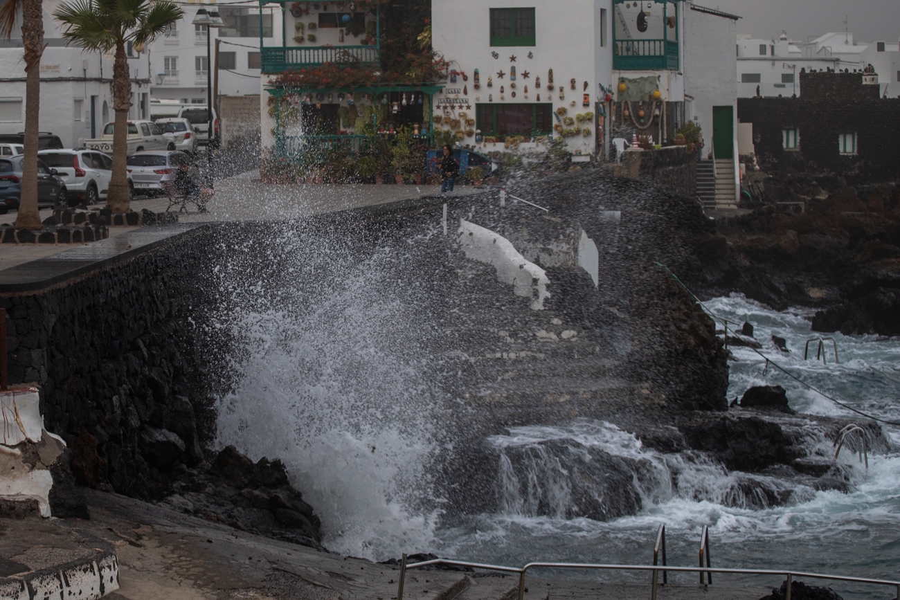
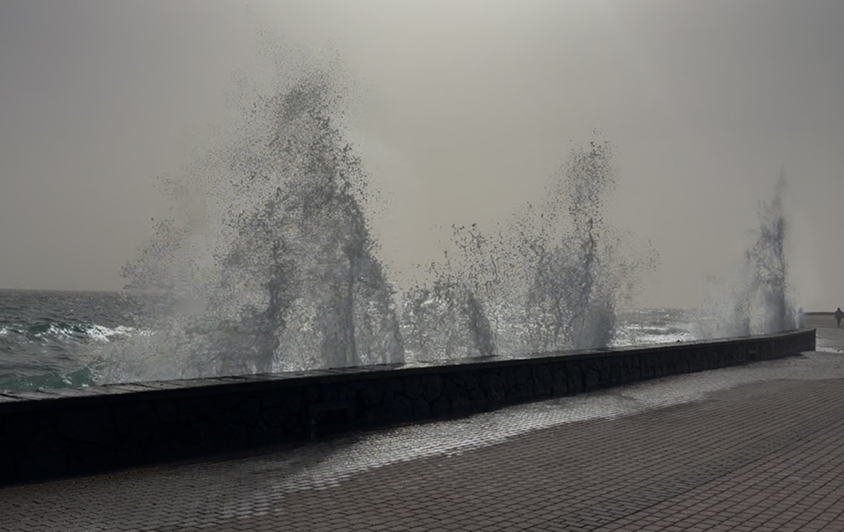
The forecast points to a poor sea state with sea waves combined with waves that could reach between four and six meters in height, with the maximum wave reaching twelve meters in height during the day this Monday. The wind will be from the northeast, with gusts that could reach 38 kilometers per hour, reaching 61 kilometers per hour in the maritime channel between La Gomera and Tenerife.
For Tuesday, March 18, the forecast indicates that there will be wind from the northwest, or from the north component that could reach 28 kilometers per hour and 38 kilometers per hour during the early morning.
It must be taken into account that this worsening of the sea will be gradual, so the Canary Islands will be in a situation of pre-alert for coastal phenomena between 07:00 and 11:59 hours this Monday, according to the declaration of the General Directorate of Emergencies, moving to alert from 12:00 hours.
Regarding the situation of pre-alert for risk of flooding on the coast, waves are expected to jump to bathing areas, promenades and roads near the coastline during high tides. In fact, this risk will be concentrated from two hours before and up to two hours after the peak high tide time, scheduled for this Monday between 14:35 hours and 15:15 hours, and between 02:00 and 03:30 hours and 15:05 and 15:45 hours on Tuesday, March 18.
Self-protection recommendations
Given this situation, the Canary Government asks the population to take extreme precautions on the coast of the islands due to this worsening of the sea state and recalls the importance of avoiding risks by putting into practice the self-protection advice of the General Directorate of Emergencies.
In this sense, it recalls that it is important to avoid walks along the coast and driving vehicles on roads near the beach line, as well as recording selfies in areas near the coast. In addition, it recommends postponing nautical or sports activities and not swimming on secluded or unguarded beaches.
Likewise, it is essential not to be located on docks and breakwaters, or remain in places near the sea to avoid being hit or dragged by the waves. For safety, if you notice some unusual waves, it is advisable not to stay near the sea, or approach it, even if it suddenly calms down.
In case of emergency, it is vitally important to call 112 immediately and explain what is happening to mobilize specialized help.


