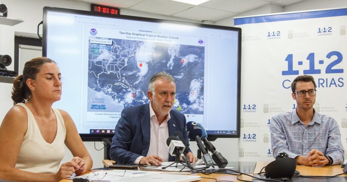
The Government of the Canary Islands has decided to suspend school activities for Monday due to the impact on the islands of Tropical Cyclone Ten, formed between Cape Verde and the African coast, which will cause the most intense rainfall of the last decade in the archipelago, according to the regional president, Ángel Víctor Torres.
The head of the Canarian Executive coordinated a meeting with the island councils this Friday afternoon after declaring maximum alert for heavy rainfall, wind and flooding from tonight until Monday.
The State Meteorological Agency predicts that between Saturday and Monday more than 150 liters per square meter will accumulate in some parts of the western islands and Gran Canaria.
Torres has pointed out that, for now, the trajectory of the cyclone suggests that "the core" of this tropical depression will not touch the Canary Islands, although it will have significant effects on the islands, especially on La Gomera, El Hierro, La Palma, Tenerife and Gran Canaria, and the rains will be widespread.
The president has said that there may be impact on the airports, although in principle there should not be any on maritime transport.
"It's something unknown," said the president, who recalled the tropical storm Delta, in 2005, which was characterized more by wind than by rain, unlike Ten, which will bring significant rainfall.
The technicians indicated at the press conference that Sunday will be a "complicated day" and have recommended that unnecessary travel should not be made.
Torres has asked all Canarians to be cautious and to avoid all possible travel, and has announced that all activities, major events and sports activities are suspended.
Regarding the Las Palmas-Granada football match scheduled for Sunday in the capital of Gran Canaria, he announced that it is expected to be suspended, although the decision rests with the City Council of Las Palmas de Gran Canaria and the Island Council.
The Canarian president has asked that teleworking be promoted on Monday to avoid travel.
The most complicated day will be Sunday and Monday, so technicians ask not to be confident if there is little rain on Saturday, as it will be abundant on Sunday and Monday, when the situation will begin to subside late in the day, according to forecasts.
Tropical Cyclone Ten has formed between the islands of Cape Verde and the African coast and is moving north at about 15 kilometers per hour, reports the State Meteorological Agency.
Although according to the latest data it will not impact the Canary archipelago, it will get close enough to produce widespread, intense and persistent rainfall, accompanied by storms, during the weekend and Monday.
On Saturday from noon, rainfall is expected that can accumulate up to 60 liters per square meter in 12 hours in numerous locations in the western islands.
On Sunday, an intensification of rainfall is expected that can be very heavy (up to 30 liters per square meter in one hour) with accumulations of 100 liters per square meter every 12 hours, except in Lanzarote and Fuerteventura where up to 40 liters per square meter are expected every 12 hours.
These precipitations would continue during the first half of Monday 26 and would begin to decrease in the afternoon.
It is likely that over these three days more than 150 liters per square meter will accumulate in some parts of the western islands and Gran Canaria.
Although no wind or maritime storm is expected, strong or very strong gusts of southerly component may occur in the western islands, as well as wind sea with waves around 2 meters in those same areas. EFE
Classes suspended on Monday due to the tropical cyclone in the Canary Islands
The President of the Canary Islands has asked all Canarians to be cautious and to avoid all possible travel.
