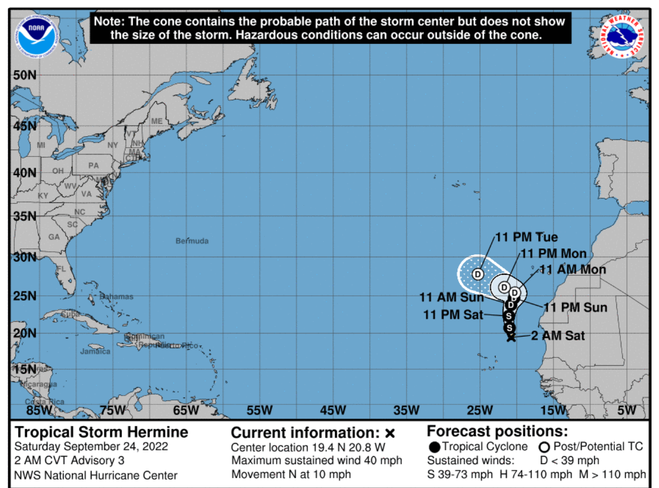
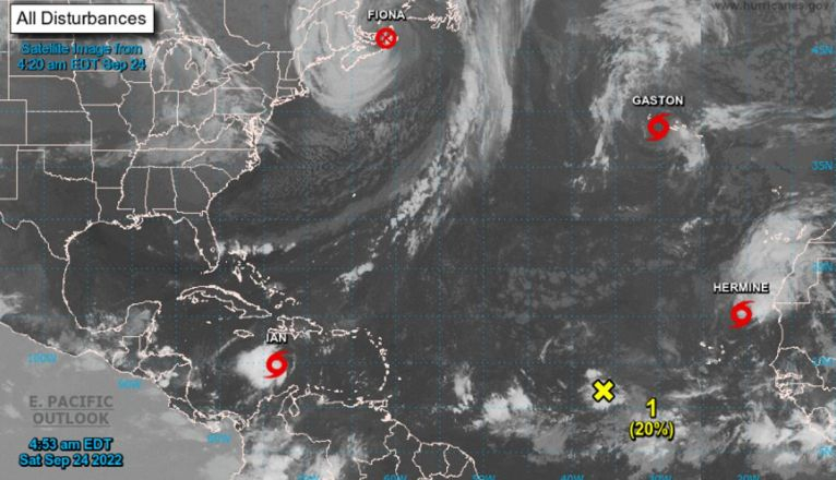
The National Hurricane Center (NHC), based in Miami, the body responsible for monitoring tropical cyclones in the North Atlantic, echoes the tropical storm approaching the Canary Islands, which it has named Hermine.
The storm, which could reach the category of tropical cyclone depending on its evolution, is located northeast of Cape Verde and currently has sustained winds of 65 km/h and a minimum pressure of 1002 mb, moving in a north-northwest direction at 17 km/h towards the Canary Islands. It is not expected to directly reach the islands, but it will cause a high impact on rainfall, mainly in the western islands.
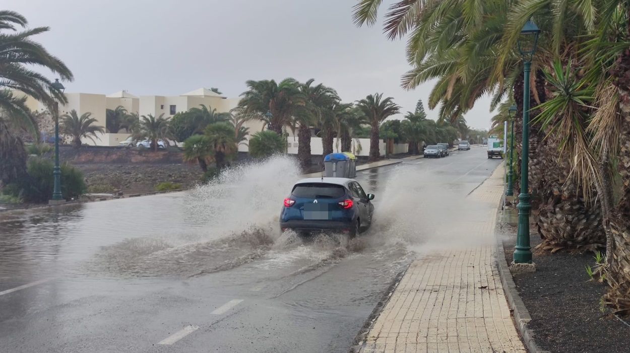
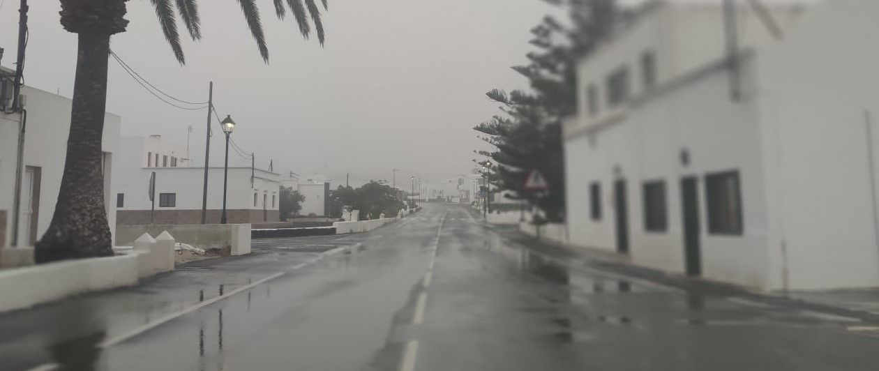
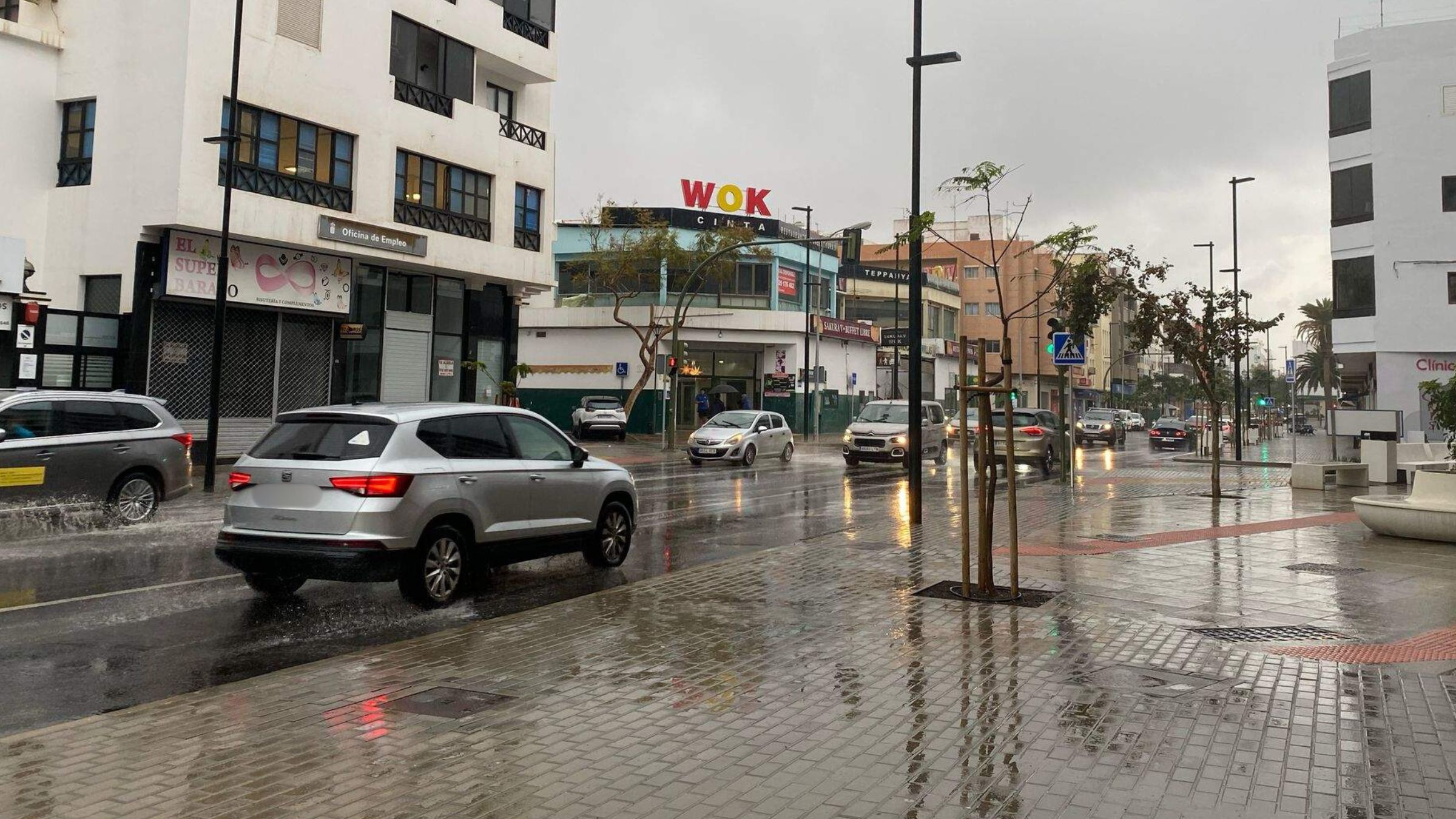
Lanzarote would be one of the least affected, although rainfall is expected to reach 40 millimeters in 12 hours and 15 mm. in one hour, according to AEMET, which has activated the yellow warning for the island on Sunday. Its effects will begin to be noticed on Saturday, although it will intensify during Sunday when the rains may be accompanied by storms.
Unusual rainfall scenario
Although according to the latest predictions Hermine will not fully impact the archipelago, it will get close enough to produce widespread, intense and persistent rainfall, accompanied by storms, during the weekend and Monday.
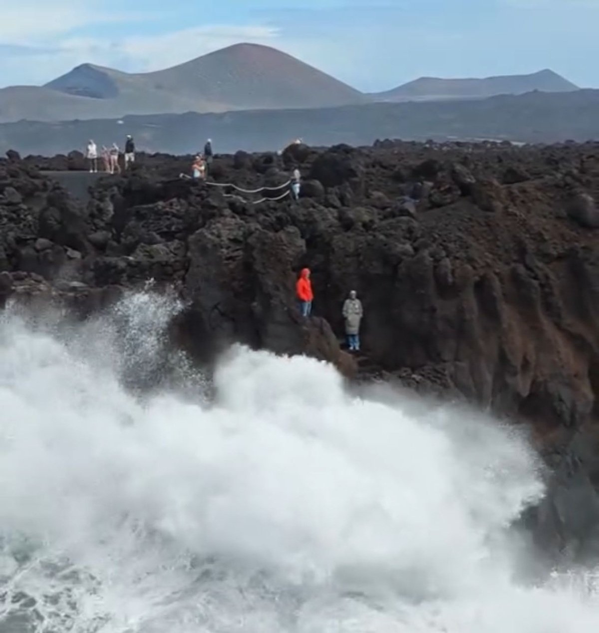
These precipitations would continue during the first half of Monday 26. From then on, rainfall would decrease in the afternoon. Although no wind or sea storm is expected to affect the archipelago, strong or very strong gusts of wind from the south may occur in the western islands, as well as wind sea with waves around 2 meters in those same areas.
Meteorologist Francisco Martín León, in his informative magazine of meteorology RAM states that "In my long professional life I never saw a situation of very abundant and widespread rainfall in the Canary Islands due to the interaction of a possible tropical cyclone, an extratropical trough and the complex orography of the islands."
The National Hurricane Center of Miami, which rarely deals with meteorological phenomena in the Canary Islands, in its update on Saturday morning has slightly corrected the prediction bringing Hermine closer to the Canary Islands, "which increases the potential to leave even more impact on rainfall", as noted by the meteorologist of Aemet Canarias J.J. González Alemán in his twitter account. "Regardless of the variability of the very heart of Tropical Storm Hermine, the impact will be very remarkable."
In its latest update on Saturday morning, the National Hurricane Center of Miami expressly warns of heavy rains expected in the Canary Islands and possible flash floods in high elevations.
Aemet has updated the meteorological warnings for the Canary Islands at 11.24 am, with red warnings on Sunday in Gran Canaria, La Palma and El Hierro.
