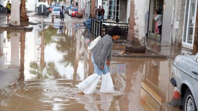
The planet is suffering a new episode of El Niño, a natural meteorological phenomenon that causes surface waters of the Pacific to reach warmer than normal temperatures. If the intensity of the episode is very strong, as predicted by the World Meteorological Organization (WMO), the risk of extreme weather events, such as floods, droughts, and heatwaves, increases.
El Niño alternates cyclically with its opposite, La Niña, and was named by Pacific fishermen who detected that a warm current caused a drop in fish catches around Christmas time. Both El Niño and La Niña are part of the same climate pattern, El Niño-Southern Oscillation (ENSO), which alters temperatures in the central and eastern Pacific, with consequences for the entire planet.
María Dolores Pérez, a doctor from the University of Las Palmas de Gran Canaria and Applied Physics, an expert in Physical Oceanography and Oceanic Variability, points out that the effects of El Niño reach a planet "that is already overheated."
"Although the effects have not yet been seen in the Canary Islands, because these are teleconnections that can take up to a year to reach us, a very strong rise in temperatures, in sea temperature, is expected, and we will have warmer summers and winters," the expert continues.
Although these are natural phenomena, the warming of the oceans caused by the emission of greenhouse gases into the atmosphere has worsened the consequences for the planet.
A phenomenon that will extend until 2027
Experts from the WMO's Global Production Centers predict that this meteorological phenomenon will strengthen in the coming months and that its influence will last until February of next year, 2027, with a probability close to 100%. In fact, they emphasize that this is the first time that a bulletin on El Niño or La Niña has been so emphatic and clear.
One of the most important factors strengthening El Niño is the high ocean temperatures, which will cause it to "continue strengthening in the coming months to become a very strong intensity event before reaching its peak towards the end of this year."
Despite this, experts recall that it is very difficult to establish in which areas or regions there will be greater climatological alterations because "it will present differences depending on the region and cannot be determined solely by considering the intensity of the El Niño phenomenon."
To the warnings of the World Meteorological Organization (WMO), the Secretary-General of the United Nations, António Guterres, has also joined, who pointed out on the afternoon of this past Thursday on his social networks that this phenomenon "is growing before our eyes".
"The science is clear: sea surface temperatures are rising, temperatures continue to rise, and the world is in a zone in a zone of danger from extreme climate," Guterres indicated, adding that "the race is now between growing risks" and the commitment to carry out climate actions to protect people.
Faced with this global phenomenon, the World Meteorological Organization demands that world leaders take preventive and response measures to mitigate the possible serious effects in different parts of the world.
"In 50 years of the WMO's history, we have never before undertaken such an important mobilization together with the National Meteorological and Hydrological Services (NMHS), who lead the provision of forecasts and services to save lives and protect livelihoods," Guterres concluded.
Add La Voz de Lanzarote as a preferred Google source.
Stay informed with the latest current news.