The State Meteorological Agency (Aemet) has increased to four the yellow advisories due to the passage of the storm of great impact, Claudia, over Lanzarote. Thus, it has added to the two yellow advisories issued for the risk of precipitation and storms, two more of the same color for maximum wind gusts and for significant coastal phenomena.
In an informational note, it has warned that storm Claudia will remain stationary throughout the week to the northwest of the peninsula and will bring a storm of rain and wind to the archipelago starting this Wednesday.
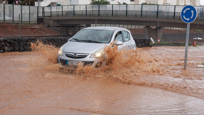
In this regard, it has warned that the storm fronts will bring heavy to very heavy, persistent showers with thunderstorms to the central and western areas of the archipelago on November 12 and 13. The southwestern areas of the islands have the highest probability of experiencing flash floods and local flooding in ravines and torrents.
Strong winds from the southwest and coastal storms affecting ports and promenades will be added to the heavy rainfall. Aemet predicts that cornices or construction elements, as well as branches or trees, could fall.
On Thursday it will sweep towards Lanzarote
While the passage of the storm will be felt throughout Wednesday across the western islands, starting with La Palma and moving towards the rest of the islands as the hours pass, it will be on Thursday when they reach Lanzarote and La Graciosa.
The central islands of the archipelago will register strong or very strong stormy showers during the early hours of the day, which will be persistent on the southwest-facing slopes. Significant amounts of rain can accumulate in these areas.
The Aemet does not rule out the possibility of "occasionally strong" rain episodes on the eastern islands throughout Thursday, where moderate intensity precipitation is generally expected to affect themThus, on Thursday the gusts will be very strong from the southwest, which will shift to west after the front passes, subsiding by the end of the day.
Add La Voz de Lanzarote as a preferred Google source.
Stay informed with the latest current news.