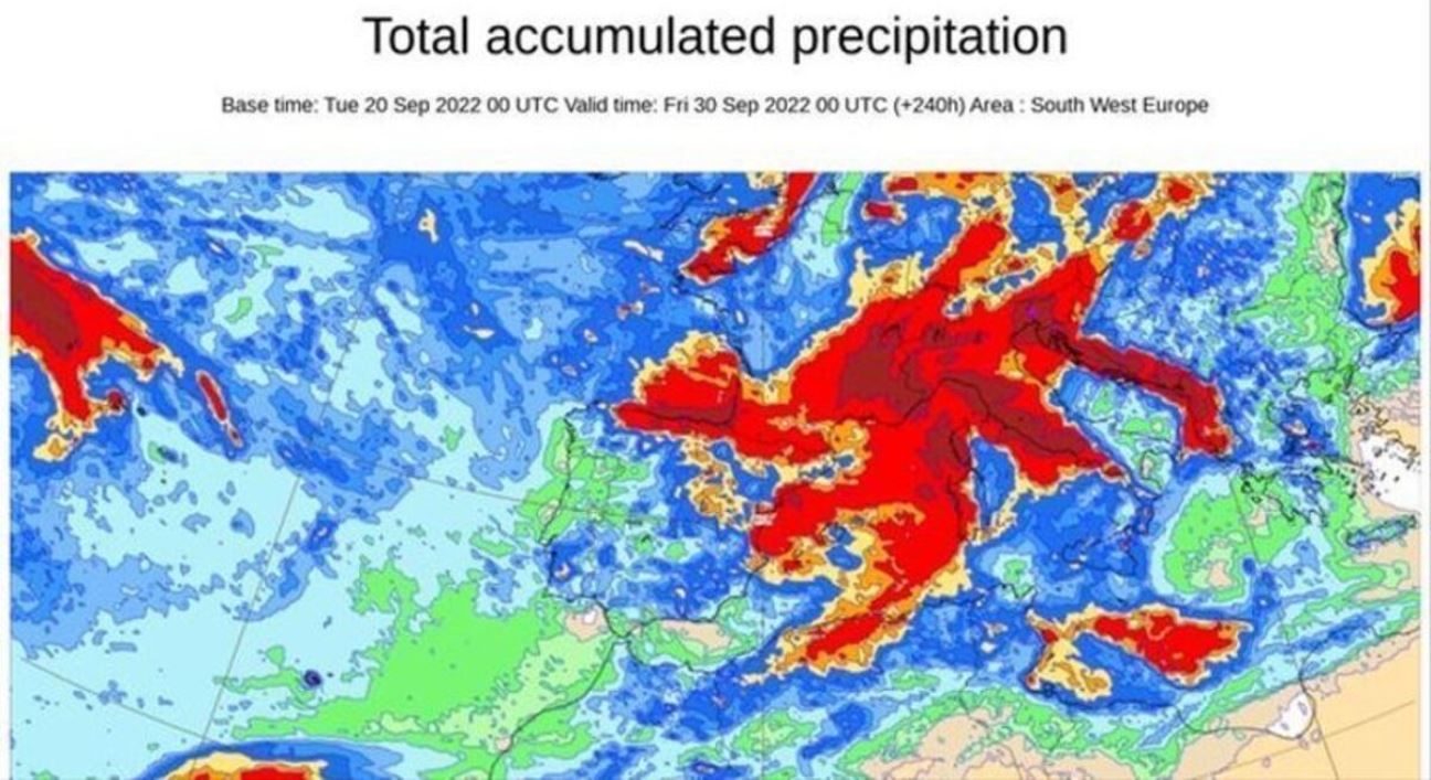
The United States National Hurricane Center and the State Meteorological Agency (Aemet) are monitoring a tropical wave, as well as the effects it would have on the Canary Archipelago, which is moving towards the west coast of Africa and could lead to a cyclone.
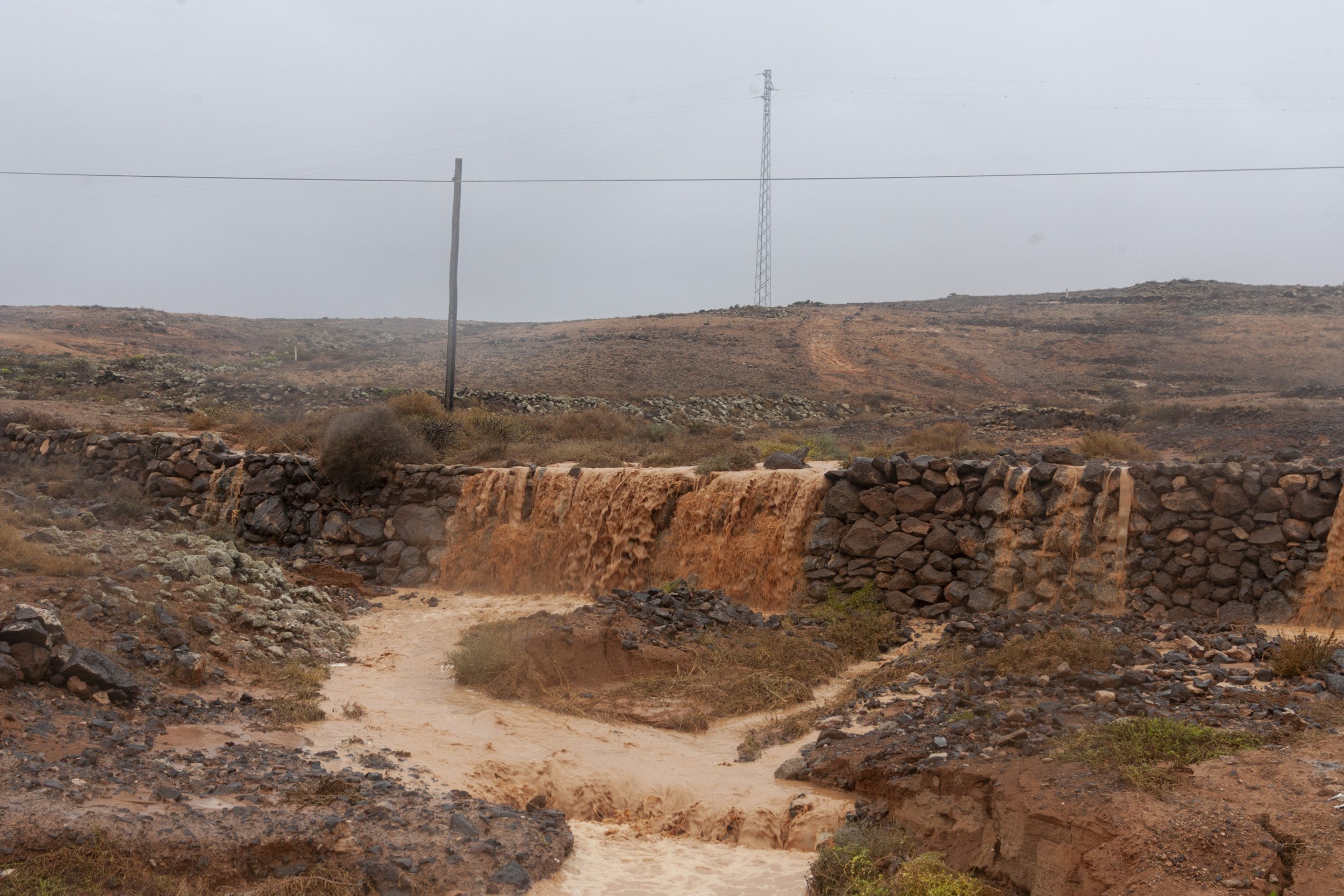
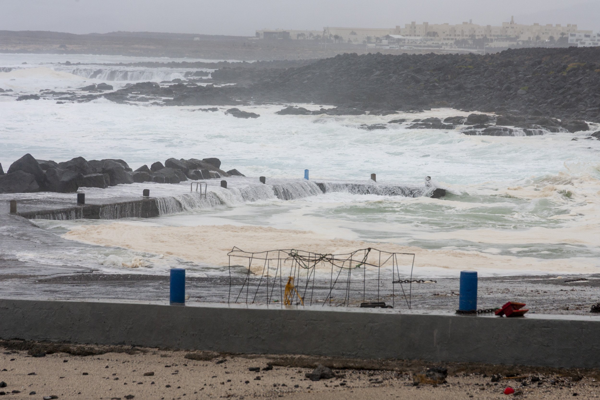
Initially, these effects could lead to rainfall from next Saturday, September 24, especially in the western islands, of great intensity locally, as well as very strong gusts of wind, especially in summit areas, explains Rubén del Campo, spokesman for Aemet.
At the moment there is a 50% chance that this wave advancing from the interior of the African continent will become a tropical cyclone within the next five days. On its way, it is expected to find favorable conditions for its intensification and to move north over Atlantic waters, parallel to the African coast.
Read the full story in La Provincia


