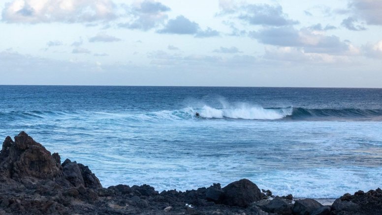
Based on the forecast from the State Meteorological Agency, the General Directorate of Emergencies has declared a pre-alert for adverse coastal phenomena in Lanzarote and La Graciosa starting at 12:00 noon this Tuesday.
Strong trade winds are likely at sea and in coastal areas of the east-southeast and west-northwest of the islands. Northeast wind is expected, force 5 - 6 (29 - 49 km/h) with areas of force 7 (50 - 61 km/h) in the open sea. Strong and very strong local gusts are likely to reach and/or exceed 60 - 70 kilometers per hour. In the areas affected by the wind, the sea state will be rough, and a northwest swell of 1 - 1.5 meters is expected, with a combined sea swell of 1 - 3 meters in height.
In addition to Lanzarote, the rest of the archipelago will also be affected by this situation, so the Canary Islands Government is urging caution.
The forecast for this Wednesday predicts partly cloudy skies with intervals in the north and the presence of haze at high levels. Temperatures will experience little change, with minimums between 19 and 21 degrees and maximums of 27. In addition, the trade winds will blow with intervals of strong wind.
Add La Voz de Lanzarote as a preferred Google source.
Stay informed with the latest current news.