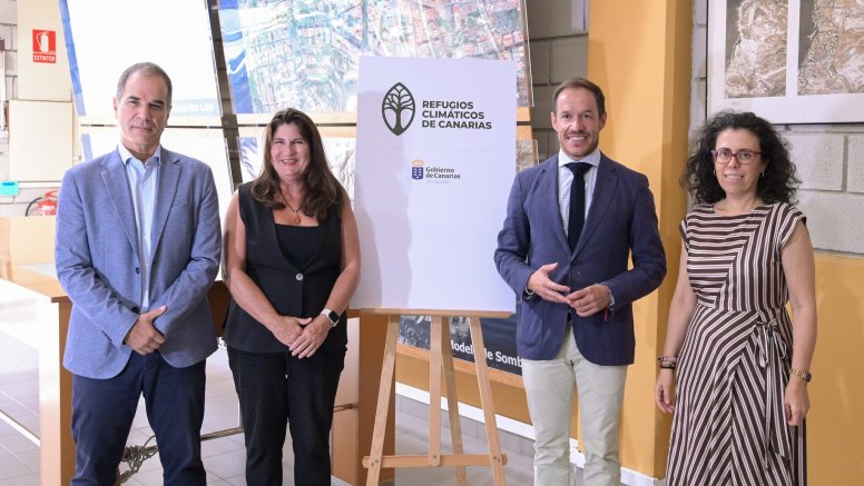
Canarias launched a digital map of climate shelters this week that citizens can use to protect themselves from extreme temperatures.
This map for public consultation, developed by the Ministry of Ecological Transition and Energy and the Cartographic Institute of Canarias (GRAFCAN), represents a new phase in the development of the Canary Network of Climate Shelters, following fieldwork carried out in recent months to identify, evaluate, and coordinate public and private spaces that can offer adequate protection and comfort conditions against heat.
The Minister of Ecological Transition and Energy, Mariano H. Zapata, highlighted that the launch of this tool means "turning the process that the technical team has been carrying out in recent months into a useful and accessible tool for citizens. We want people to be able to easily know, in the event of an extreme heat episode, which spaces are available to them and what conditions each one offers."
Zapata stressed that adapting to climate change "requires action, but also providing information that allows the population to make decisions and protect themselves in situations of extreme temperatures." In this regard, he highlighted that the map will allow "giving visibility to a network that will continue to grow with the incorporation of new spaces that meet the established technical criteria."
For her part, the Vice Minister of Ecological Transition, Fight against Climate Change and Energy, Julieta Schallenberg, stated that "the aim is to create a regional network with the participation of municipalities and the collaboration of other entities, public and private, that share the commitment to advance in adaptation to climate change. This technical and consensus-building work now makes it possible to gather this information and offer it in an organized and accessible way to citizens."
Where are the shelters?
In this first phase, the first twelve town councils have already joined (Santa Cruz de La Palma, Los Llanos de Aridane, Puntallana, Puntagorda, Tijarafe, Breña Baja, Vilaflor, San Juan de la Rambla, Güímar, Gáldar, Santa Lucía de Tirajana, and San Bartolomé de Tirajana), which means the incorporation of 44 spaces (23 outdoor, 20 indoor, and one green corner). The rest of the town councils that wish to incorporate their spaces into this constantly growing network will be added progressively.
Likewise, by virtue of the protocol signed with Ashotel, establishments such as Hotel Tigaiga, Tigaiga Suites, Radisson Tenerife, GF Victoria, Sholeo Lodge Los Gigantes, and Mynd Adeje have already joined the network, and others will be added.
The user will be able to consult the available information for each space by selecting it on the points that appear on the map, and through a drop-down card, they will be able to consult the services it offers (opening hours, accessibility, drinking water service, rest areas, and other useful data). In this way, citizens will be able to know what resources exist in their environment and what conditions each space offers, facilitating the identification of suitable places to protect themselves from the heat during episodes of extreme temperatures.
The Department will continue working with public administrations and participating private entities to progressively expand the network and ensure that citizens have homogeneous and accessible information about the spaces available during extreme heat episodes.
Add La Voz de Lanzarote as a preferred Google source.
Stay informed with the latest current news.